CHAPTER 21
THE WORLD, REDRAWN
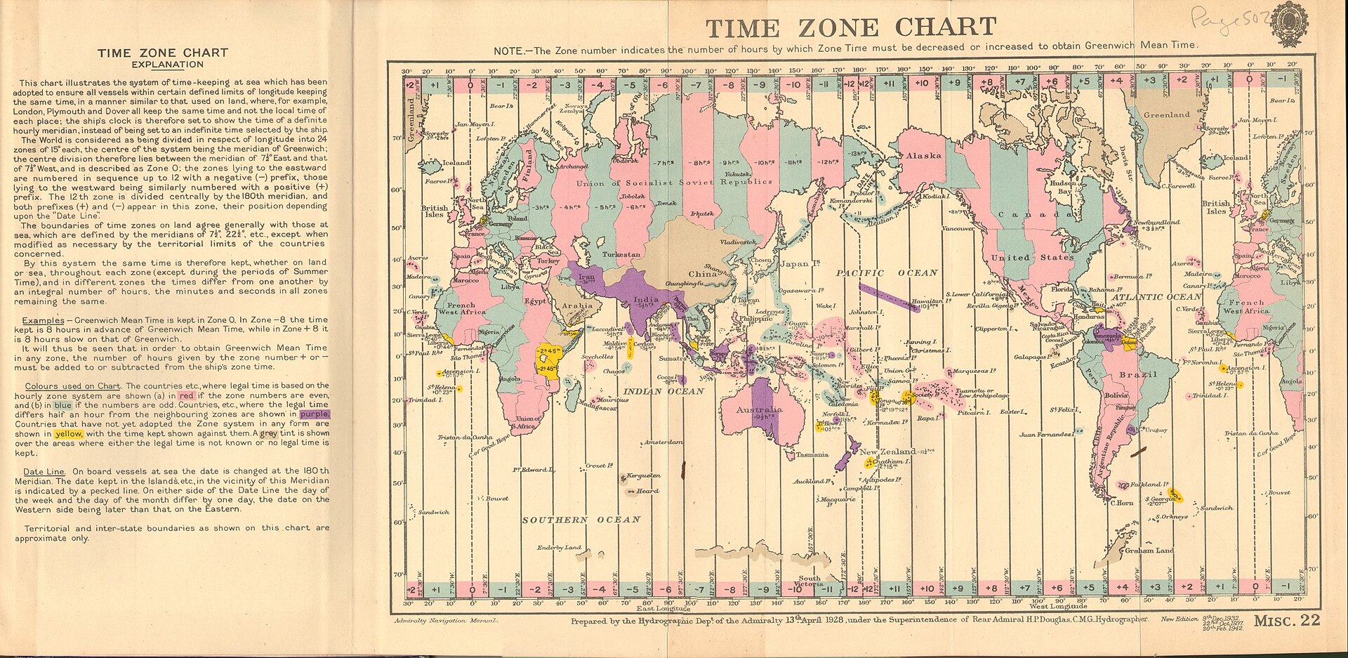
Figure 21.1. Time Zone Chart of the World, first published in 1928 and reproduced in a 1942 edition. A once-new international convention became ordinary infrastructure. United Kingdom Hydrographic Office. Public domain.
On the morning after the vote, Google Maps still worked. Ships still navigated. GIS analysts still opened projects whose layers were labelled 4326, 3857 and 2193, and EPSG:8857 meant exactly what it had meant the day before. The Earth had not acquired a new shape overnight. Yet something had changed.
On Friday 4 September 2026, the United Nations General Assembly’s 114th plenary meeting took action on draft resolution A/80/L.104, “Correct the Map: Rebalancing global cartographic representation and promoting equitable representation of the world’s regions, particularly Africa.” Togo presented the initiative on behalf of the African Group. The vote was 164 in favour, one against and six abstentions. The United States cast the sole vote against; Estonia, Georgia, Lithuania, the Republic of Moldova, Serbia and Ukraine abstained.[1] The adopted text became General Assembly resolution A/RES/80/307.[2]
That was an overwhelming political endorsement of an argument that, about seventeen months earlier, had largely belonged to campaigners, cartographers and African institutions.[3] It belonged to the political layer of mapping, not to a global software update. Projection invention, software support, standards registration, government endorsement and implementation are different events, and the 2026 vote did not make them happen at once.
Public discussion after the vote often compressed those layers into one dramatic sentence: the United Nations had replaced Mercator with Equal Earth. The resolution was more limited. It encouraged governments, schools, international organisations and technology companies to use Equal Earth and other equal-area maps when relative size matters, and to teach the limitations of flat maps. It neither prohibited Mercator nor changed navigational charts, national coordinate systems, web-tile infrastructure or the status of other EPSG-defined systems.
Togo’s own diplomatic framing had been more careful than the headlines. The initiative was presented as a challenge to inherited defaults and a call for more appropriate cartographic representation, not as a claim that one projection should serve every conceivable map.
The African Union had already taken a stronger internal step. At its thirty-ninth ordinary session on 14–15 February 2026, Assembly/AU/Dec.959(XXXIX) adopted Equal Earth and urged Member States to revise national curricula accordingly.[4] The same decision provided for a champion and annual implementation reporting through collaboration with the African Union Commission. Its wider language linked the initiative to historical justice and colonial cartography, claims that belong to the AU’s political framing rather than to projection mathematics.
By June, implementation had moved beyond discussion. The African Union Commission said it had established an interdepartmental working group to coordinate rollout and, with Togo, would convene a continental workshop to develop an implementation roadmap involving Member States, educators, geospatial specialists, media, civil society and other partners.[5] It said engagement with technology companies, mapping providers, publishers and educational institutions was already under way. After the UN vote, Commission chairperson Mahmoud Ali Youssouf encouraged international institutions, educational systems, publishers and digital platforms to progressively promote cartographic representations that better reflect actual land areas. The word progressively matters.
A map can be changed in seconds; a mapping culture cannot. A school ministry replacing a Mercator wall map immediately faces further choices: which equal-area projection to use, where to centre the world, whether navigation lessons should still show Mercator, whether Antarctica needs a polar view, whether a digital atlas should change projection with scale, and whether students should see several projections side by side so the trade-offs are explicit. If the old map is removed without explaining why, one invisible default may simply be replaced by another.
France offered a useful example of a more purpose-driven response. On 4 September, its foreign ministry announced that it would abandon Mercator in its diplomatic uses in favour of cartographic representations adapted to purpose and more faithful to actual areas.[6] The official announcement did not frame the decision as allegiance to one mandatory replacement. It framed the change around use.
That purpose-driven language is consistent with professional cartographic guidance. The International Cartographic Association has stressed that no single flat world projection is correct for all purposes, that equal-area projections are appropriate when area matters, and that Mercator is a poor default for global area comparison. The political significance of the UN vote did not depend on Equal Earth being perfect; it lay in making an inherited convention negotiable.
Equal Earth entered the political debate with the technical groundwork already in place. Šavrič, Patterson and Jenny published it in 2018; software support followed; and the EPSG dataset registered the Greenwich-centred WGS 84 implementation as EPSG:8857 before the 2026 vote.[7] That chronology matters because EPSG registration, political endorsement and implementation are different layers of the mapping system.[8]
The vote did not trigger an immediate technical migration. Two days later, major mapping platforms were still operating on their existing architectures, with Web Mercator deeply embedded in tile pyramids, caches, APIs, libraries and applications.[9] Political endorsement had changed faster than infrastructure.
Modern mapping increasingly allows the display projection to change without forcing every underlying data system to change with it. A platform can offer a globe or an Equal Earth overview while retaining existing coordinate and tile infrastructure in other layers. A national agency can use a specialist projected CRS for engineering and an equal-area projection for a world graphic. A map service can transform data between systems automatically.
The modern map is already plural, and the political debate is catching up with that technical reality. A public world graphic can change projection without requiring national engineering, Antarctic mapping or existing web services to adopt the same system. The vote concerned the general world map, not every map.
There was never one universal world map to replace. Even the United Nations had long used multiple projections for different products. The Secretariat’s geospatial guidance described a variety of world-map choices rather than one mandated Mercator default. The political slogan was simpler than the institution’s actual cartographic practice.
The institutional chain was now visible: African Union bodies had adopted the issue, Togo had carried it into the General Assembly, a large majority of governments supported the resolution, France announced an immediate diplomatic-policy response, and the AU called for progressive implementation across education, publishing and digital platforms.[10] That was consequential even though the world’s map interfaces looked almost identical the next morning.
Defaults are powerful partly because they require no explanation. For decades, a general world map could use Mercator-like proportions because the template was already there, the audience recognised it or the software defaulted to it. After 4 September 2026, that choice became easier to question: if the purpose is comparing countries and continents, why use a projection that badly distorts their relative areas? The answer can no longer simply be that this is what a world map looks like. The vote changed the burden of explanation.
This is a quieter change than the headline “UN changes world map”, but it may last longer. School publishers revise slowly, government templates persist, newsrooms inherit graphics and software defaults survive because users expect them. Reform will therefore be uneven: some institutions will adopt Equal Earth, others will choose another equal-area projection, some will use several projections, and some will barely change at all. Like other infrastructure, mapping standards spread through adoption, compatibility, education and habit rather than decree alone.
By 2026, the technical choices beneath world maps were already layered through navigation, standards, software and specialist practice. The General Assembly vote did something different: it made one familiar default openly negotiable.
On 4 September 2026, the General Assembly supplied an answer to a question that had been accumulating for centuries: can a technical convention become a political issue simply because people decide the default no longer serves them? Yes. The next morning the geometry was unchanged, but the assumption that the familiar picture required no defence had weakened. The final task is not to crown a permanent new map of the world. It is to decide more consciously which distortion belongs to which job.